Map IGN D-Day

A07910
-{{ Math.floor(lowestprice.prices.user.percent) }}%
-{{ Math.floor(selectedVariant.prices.user.percent) }}%
From {{ lowestprice.prices.user.price_tax_display }} {{ lowestprice.prices.user.price_strike_tax_display }} {{ lowestprice.prices.user.label }}
{{ price.price_tax_display }} {{ price.label }}
Public price {{ lowestprice.prices.suggested.price_tax_display }} {{ lowestprice.prices.suggested.price_strike_tax_display }}
excl. taxes
{{ selectedVariant.prices.user.price_tax_display }} {{ selectedVariant.prices.user.price_strike_tax_display }} {{ selectedVariant.prices.user.label }}
{{ price.price_tax_display }} {{ price.label }}
Public price {{ selectedVariant.prices.suggested.price_tax_display }} {{ selectedVariant.prices.suggested.price_strike_tax_display }}
excl. taxes
Item unavailable
Last available items
sold by Musée de l'Armée - Invalides Museum
Musée de l'Armée - Invalides

Description

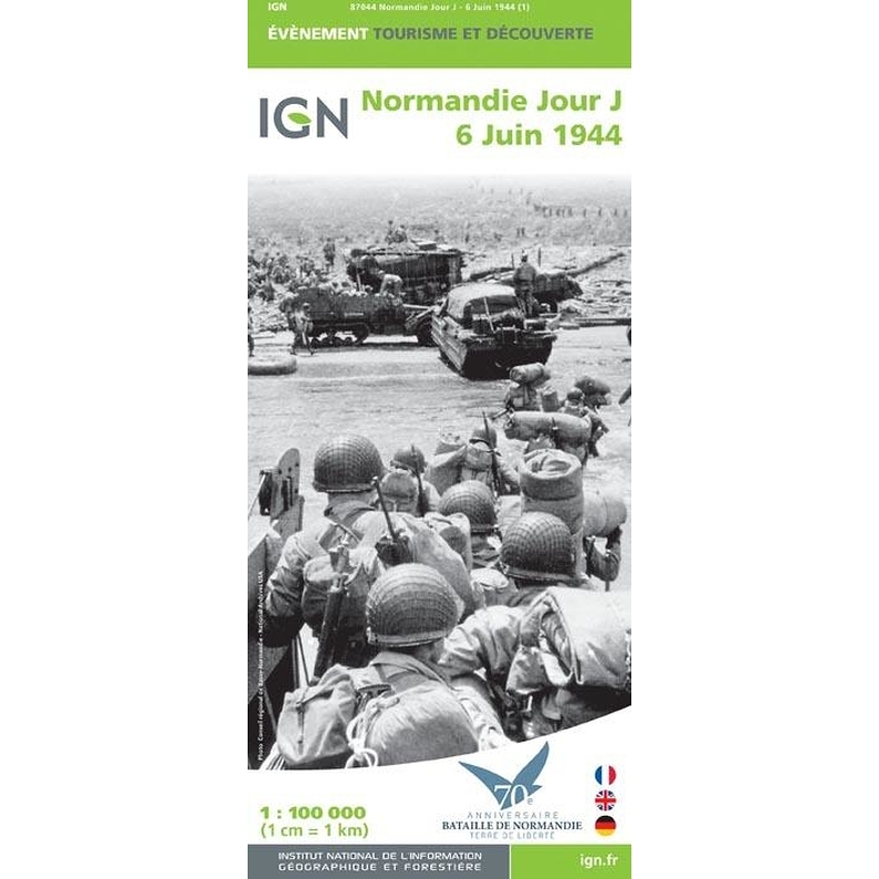
Like the previous anniversaries of D.Day, in 1984 for the fortieth, in 1994 for the fiftieth and in 2004 for the sixtieth, the IGN will mark the seventieth anniversary in 2014 by the publication of a new edition of the map of D-Day. A map created in partnership with the "70th Anniversary Battle of Normandy-Land of Freedom" committee. This map contains historical information: the landing beaches, the positions of the various army corps and the evolution of the front from 06 June to 18 August 1944. You will also find information on the tourist sites of the Conservatoire du littoral, on military relics and cemeteries as well as existing museums.

Product information

Technical specification

Scale : 1/100 000 Languages : french, english, german

You may also like